
Revolutionizing Land Surveying: Key Advancements in Drone and UAV Technology for 2026

The land surveying industry stands at a pivotal moment in 2026, where traditional surveying methods that once required weeks of labor-intensive fieldwork are being transformed by cutting-edge drone technology. Imagine completing a comprehensive topographic survey of 500 acres in just three hours instead of two weeks—this isn't science fiction, but the reality that Revolutionizing Land […]
GIS Integration in Land Surveying: Enhancing Data Visualization and Decision-Making
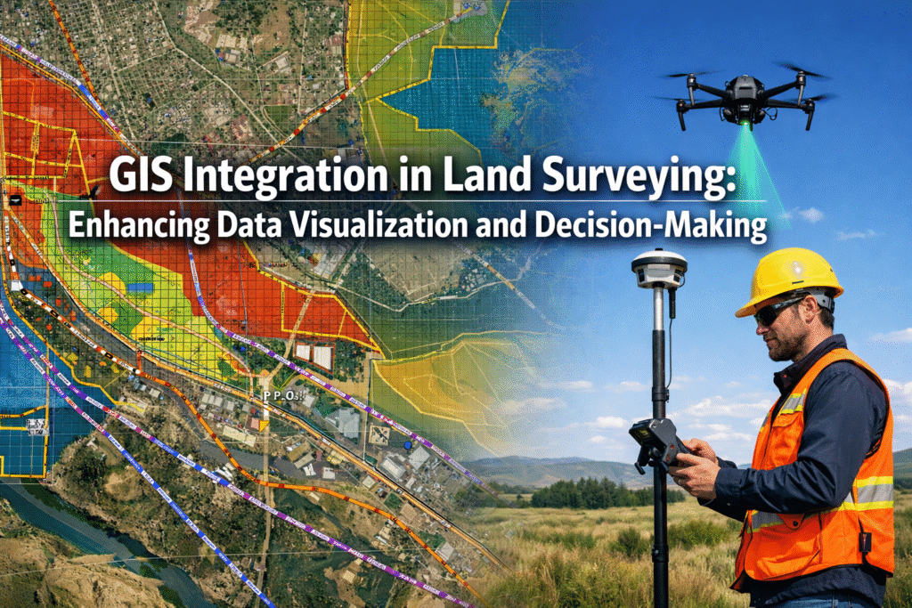
In 2026, the surveying profession stands at a transformative crossroads. As cities expand, infrastructure ages, and development pressures intensify, land surveyors face an unprecedented challenge: how to manage, analyze, and communicate increasingly complex spatial data to stakeholders who demand faster, more accurate insights. The answer lies in GIS Integration in Land Surveying: Enhancing Data Visualization […]
AI and Machine Learning in Property Surveying: Predicting Risks and Automating Data Analysis

The property surveying industry stands at a technological crossroads in 2026. While traditional surveying methods have served the profession well for decades, the sheer volume of data now available—from LiDAR scans to satellite imagery—has created a bottleneck that human analysis alone cannot efficiently process. Enter artificial intelligence (AI) and machine learning, technologies that are fundamentally […]
Mobile 3D Mapping: Creating Accurate Digital Twins for Indoor and Outdoor Surveys
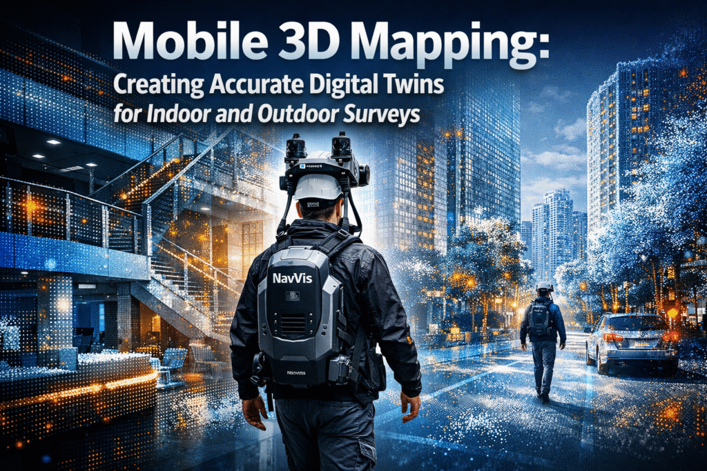
Imagine capturing an entire city block—complete with buildings, streets, and infrastructure—in just hours instead of weeks. In 2026, mobile 3D mapping technology is revolutionizing how professionals create digital twins, transforming bulky, stationary survey equipment into flexible, wearable systems that generate centimeter-accurate models while walking through spaces. This breakthrough enables chartered surveyors, urban planners, and facility […]
3D Laser Scanning for Property Surveyors: From Adoption to Advanced Applications

The property surveying industry stands at a technological crossroads in 2026, where precision, speed, and comprehensive data capture have become non-negotiable requirements. 3D Laser Scanning for Property Surveyors: From Adoption to Advanced Applications represents not just a technological evolution but a fundamental transformation in how professionals approach measurement, documentation, and analysis. As the 3D laser […]


