
Mobile 3D Mapping Systems: Creating Detailed Digital Models Without Bulky Equipment

" Imagine transforming a sprawling construction site, a historic building's intricate facade, or an entire city block into a precise digital twin—all without hauling heavy tripods, bulky laser scanners, or expensive specialized vehicles. This isn't science fiction; it's the reality of modern mobile 3D mapping systems that are revolutionizing how surveyors, architects, and engineers capture […]
AI-Driven Autonomous Drones in Land Surveying: How Predictive Flight Paths Are Changing the Industry

The land surveying industry is experiencing a fundamental transformation in 2026, driven by AI-powered autonomous drones that can predict, plan, and execute complex surveying missions without human intervention. Gone are the days when surveyors needed multiple site visits, extensive ground crews, and weeks of manual data processing. AI-Driven Autonomous Drones in Land Surveying: How Predictive […]
Real-Time 3D Digital Twins: Visualizing Land Behavior Under Various Conditions
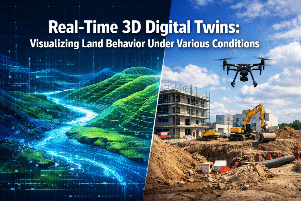
Imagine standing on an empty plot of land, yet seeing exactly how it will respond to torrential rain, prolonged drought, or the weight of a five-story building—all before a single shovel breaks ground. This isn't science fiction. In 2026, Real-Time 3D Digital Twins: Visualizing Land Behavior Under Various Conditions has transformed how developers, planners, and […]
Machine Learning Algorithms in Surveying: Automating Data Analysis and Predictive Risk Detection

The surveying profession stands at a technological crossroads in 2026. While traditional methods have served the industry well for centuries, machine learning algorithms are now revolutionizing how surveyors collect, process, and interpret data. Imagine processing massive datasets in minutes rather than days, automatically identifying structural risks before they become catastrophic, and predicting natural hazards like […]
Cloud-Based Surveying Platforms: Moving Beyond Static PDFs to Real-Time Collaboration

The surveying industry stands at a pivotal crossroads in 2026. For decades, surveyors delivered their findings through static PDF documents, emailed large files, or shipped physical hard drives containing point cloud data. Clients waited days for deliverables, struggled to visualize complex spatial information, and coordinated revisions through endless email chains. This traditional workflow has become […]


