
LiDAR and 3D Laser Scanning Essentials: Advanced Tools Every Property Surveyor Should Master
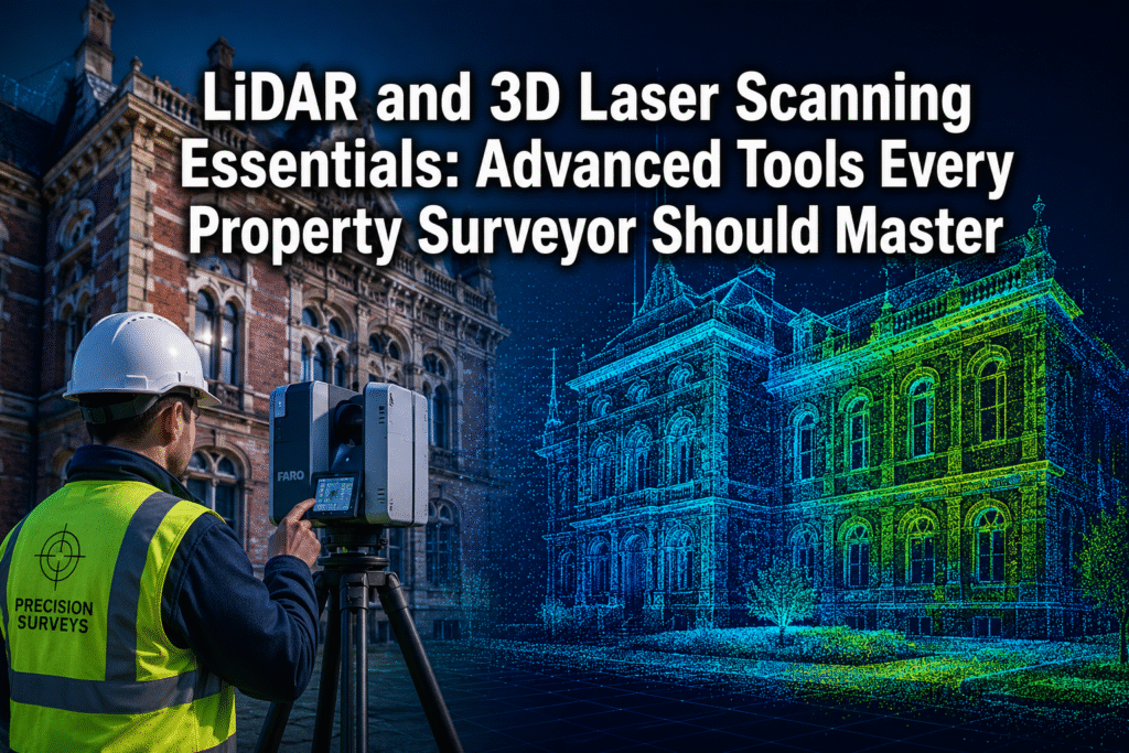
Modern terrestrial laser scanners now capture more than 2 million data points per second, achieving positional accuracies down to plus or minus 1 to 2 millimetres — a level of precision once reserved for aerospace engineering that is now a standard expectation in property surveying [1]. For professionals who still rely solely on tape measures […]


