
How Surveyors Use Ground Control Points and GPS in Boundary Disputes and Party Wall Evidence
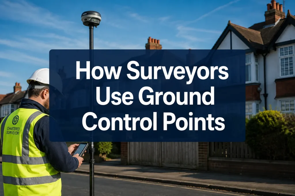
A single centimetre of error in a boundary survey can shift the legal line between two properties by enough to place a fence, a wall, or even a building extension on the wrong side. That is not a hypothetical risk. In dense urban areas across the UK, disputes over a few centimetres of land regularly […]
Expert Witness Property Valuation: When Courts Rely on Surveyors in UK Property Disputes
Over a third of all contested property cases in England and Wales involve a dispute about value, yet the gap between what a qualified surveyor says a property is worth and what a court ultimately accepts can run into hundreds of thousands of pounds. That gap is closed, or widened, by the quality of expert […]
Satellite Imagery in Property Surveying: How UK Surveyors Use Remote Evidence for Boundary, Damp and Defect Screening

Fewer than one in five UK homebuyers commission a full building survey before exchange, yet the physical evidence needed to protect their investment increasingly begins not at the front door, but hundreds of metres above it. Satellite imagery in property surveying, and the wider discipline of remote sensing, have transformed the way chartered surveyors gather […]